AUTODESK
-
3ds Max
Take full artistic control with professional-quality 3D models
Create massive worlds in games, stunning scenes for design visualization, and engaging virtual reality experiences. Use 3ds Max® toolsets to shape and define detailed environments, objects, and characters. Model any person, place, or thing.Call for price3ds Max
Call for price -
Architecture, Engineering & Construction Collections
Accelerate design processes and improve quality with integrated workflows for document management, conceptual design, modeling, coordination, and documentation.
Call for priceArchitecture, Engineering & Construction Collections
Call for price -
Autodesk Autocad 2022-Subscription License
AutoCAD® is computer-aided design (CAD) software that architects, engineers, and construction professionals rely on to create precise 2D and 3D drawings.
Call for priceAutodesk Autocad 2022-Subscription License
Call for price -
Autodesk Navisworks
Navisworks® Simulate and Manage tools enable greater coordination, construction simulation, and whole-project analysis for integrated project review. Navisworks Manage includes advanced clash detection and interference management tools
Call for priceAutodesk Navisworks
Call for price -

Didger
Amp up your geoprocessing toolbox.
DIDGER HAS RETIRED
We no longer sell Didger, but don’t worry! The answer to your Didger question is a click away…Did you know a number of Didger features are available in our 2D & 3D mapping, modeling, and analysis software application, Surfer? If you’re looking for outstanding interpolation methods, check out the free Surfer trial!
Call for priceDidger
Call for price -
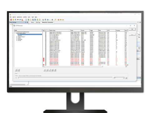
GeoCore SDK
GeoCore®: The All-in-One Geospatial Data Conversion API
Call for priceGeoCore SDK
Call for price -
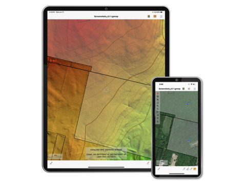
Global Mapper Mobile
Global Mapper Mobile® is a powerful iOS and Android application for viewing and collecting GIS data. It utilizes the GPS capabilities of mobile devices to provide situational awareness and locational intelligence for remote mapping projects. A perfect complement to the desktop version of Global Mapper, the mobile edition provides maps-in-hand functionality for engineers, surveyors, wildlife managers, foresters, and anyone whose job requires access to spatial data in remote locations.
Call for price