
-

Corona Renderer for 3ds Max – Box license – 1 WS + 3 NODES (with Subscription)
- Corona Renderer delivers high quality, physically-based shading in production rendering.
- All its features are tightly integrated into Autodesk 3ds Max.
Call for price -

Corona Renderer for Cinema 4D – FairSaaS – 1 WS + 10 NODES (12 months)
Corona Renderer delivers predictable, reliable, and physically plausible results with no compromises in quality. Realistic lighting and materials are yours right out of the box.
Call for price -
Corona Renderer for Cinema 4D – FairSaaS – 1 WS + 3 NODES (12 months)
Corona Renderer delivers predictable, reliable, and physically plausible results with no compromises in quality. Realistic lighting and materials are yours right out of the box.
Call for price -
Corona Renderer for Cinema 4D – FairSaaS – 1 WS + 5 NODES (12 months)
Corona Renderer delivers predictable, reliable, and physically plausible results with no compromises in quality. Realistic lighting and materials are yours right out of the box.
Call for price -

Didger
Amp up your geoprocessing toolbox.
DIDGER HAS RETIRED
We no longer sell Didger, but don’t worry! The answer to your Didger question is a click away…Did you know a number of Didger features are available in our 2D & 3D mapping, modeling, and analysis software application, Surfer? If you’re looking for outstanding interpolation methods, check out the free Surfer trial!
Call for priceDidger
Call for price -
 Call for price
EaseUS Data Recovery WizardPro 14.4
Call for price -
-
GeoCalc SDK
The GeoCalc Software Development Kit® (SDK) is a fully object-oriented class library designed for GIS professionals and software developers.
Call for priceGeoCalc SDK
Call for price -
GeoCore SDK
GeoCore®: The All-in-One Geospatial Data Conversion API
Call for priceGeoCore SDK
Call for price -
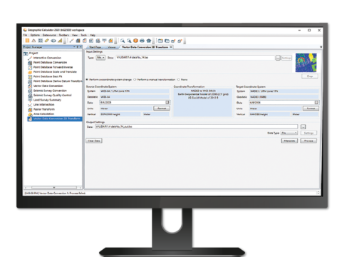
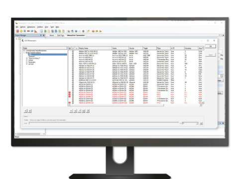
Geographic Calculator 2023
Geomatic Calculation & Transformation
Geographic Calculator® is a powerful geodetic software for accurate coordinate conversion, datum transformation, and file translation. Built on the foundation of the largest geodetic parameter database available anywhere, it has particular strength in the fields of surveying, seismic data management, and energy exploration.
Call for priceGeographic Calculator 2023
Call for price -
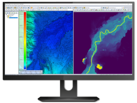
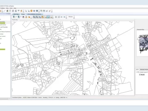
Global Mapper
Related Blogs for Global Mapper
Trusted by GIS professionals around the world.
Global Mapper® is a cutting-edge GIS software that provides both novice and experienced geospatial professionals with a comprehensive array of spatial data processing tools, with access to an unparalleled variety of data formats.
Global Mapper’s intuitive user interface and logical layout help smooth the learning curve and ensure that users will be up-and-running in no time. Organizations of any size quickly see a significant return on investment brought about by efficient data processing, accurate map creation, and optimized spatial data management.
Developed for both GIS professionals and map enthusiasts, Global Mapper® has all the functionality you need in a GIS software:
Call for priceGlobal Mapper
Call for price -
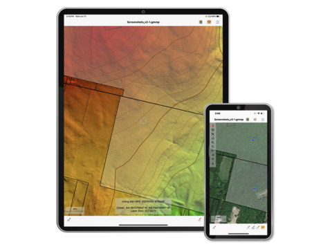
Global Mapper Mobile
Global Mapper Mobile® is a powerful iOS and Android application for viewing and collecting GIS data. It utilizes the GPS capabilities of mobile devices to provide situational awareness and locational intelligence for remote mapping projects. A perfect complement to the desktop version of Global Mapper, the mobile edition provides maps-in-hand functionality for engineers, surveyors, wildlife managers, foresters, and anyone whose job requires access to spatial data in remote locations.
Call for priceGlobal Mapper Mobile
Call for price