GeoCore SDK

Roll over image to zoom in
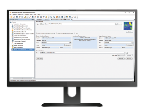
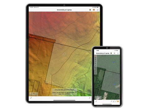
GeoCore Software Development Kit® (SDK) provides developers with the ability to embed powerful coordinate transformation and extensive file format translation capabilities into their geospatial software application. GeoCore includes the proven GeoCalc® SDK along with the ability to handle both raster and vector file format and geometry manipulation. The latest GeoCore SDK features include:
- New vertical height offset method, and support for eight new height models
- Accuracy measurements have been added to all datum transformations
- Support for larger LAS transformation and rendering
- A new CAD to CAD converter supports block and cell preservation
Reviews
There are no reviews yet.